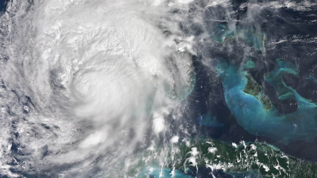
Weather experts are watching where Hurricane Patty, which would be the next named tropical storm, could form. Fortunately, hurricanes Nadine and Oscar did not impact the United States as much as it did the Caribbean and Central America. However, the 2024 hurricane season is not over yet, ending on November 30, and many residents in the southeastern United States are still recovering from hurricanes Helene and Milton. Meteorologists are carefully monitoring one particular area that might develop into a hurricane by next week.
When and where could Hurricane Patty appear?
A low-pressure system in the western Caribbean could develop into Hurricane Patty, with the GFS modeling system projecting that it could form by next week.

An October 23 analysis by meteorologist Brian Shields, better known as Mr. Weatherman on YouTube, shows that the area below the Cayman Islands and to the east of Honduras and Nicaragua will experience a lot of rain over the week. Because the ocean surface temperatures in the Caribbean are still higher than normal, any sustained storm over the region has the chance of turning into a hurricane. This is roughly the same area where hurricanes Helene and Nadine developed its strength.
Accuweather also believes that there is potential for a tropical storm in the region at some time between October 30 and November 2. This is not only due to warm waters but also an expectedly low wind shear, which helps foster the development of storms.
Both Shields and Accuweather expect this potential tropical storm to move northeast across Cuba or west across Central America like Hurricane Nadine did. Last week, a high-pressure system over the southeastern United States helped to protect the region from both Nadine and Oscar. However, Accuweather says there’s a possibility that this new system can still “track into Florida or the southeastern U.S. mainland.”
Originally reported by Nicholas Tan on Mandatory.


